

This was a bit of a last minute trip. Our plan was actually to do the Cass-Lagoon circuit in Arthur’s Pass, however, the weather was not cooperating and some very heavy rain was predicted. Considering some of the river and unbridged side stream crossings, we decided to do the Mt. Somers track instead, as the forecast for that part of the country was better.

Map in the style of Danilo Hegg of Southern Alps Photography
Friday night, we drove up and camped at the Sharplin Falls track end. That was the night of the predicted storm and in our tents it was moderately exciting, but fortunately we were also in a sheltered area. Despite Saturday dawning with tree branches strewn everywhere, it was a lovely day and we even managed to pack up dry tents.
From there, we walked the Mt. Somers track. We had an amazing morning tea stop next to a beautiful waterfall, then it was on to the Pinnacles hut for lunch, finally ending at Woolshed creek hut. All in all it was pretty uneventful, although rather blustery as we went over the saddle (all of us apart from D got blown around a little bit when big gusts came up).

Beautiful tiny waterfall along the track. We stopped here for morning tea.

Interesting Canterbury rock formations

Playing around near the water caves
We spent about 45 min-1 hour exploring the water caves, just 20 minutes or so up the track from the Woolshed creek hut. During this time, the weather started to clear and I believe this was a highlight for all!
Sunday morning we go a good start about 8:30, headed down the Mt. Somer’s South face track, then cut up just past the bus shelter and on to the top. From there, it opened up and we followed some sparse cairns up to the Mt. Somers Summit (considering we were off track, it was much easier than I had expected. The cairns were very helpful, and the terrain was easy going – just tussock and rocks).
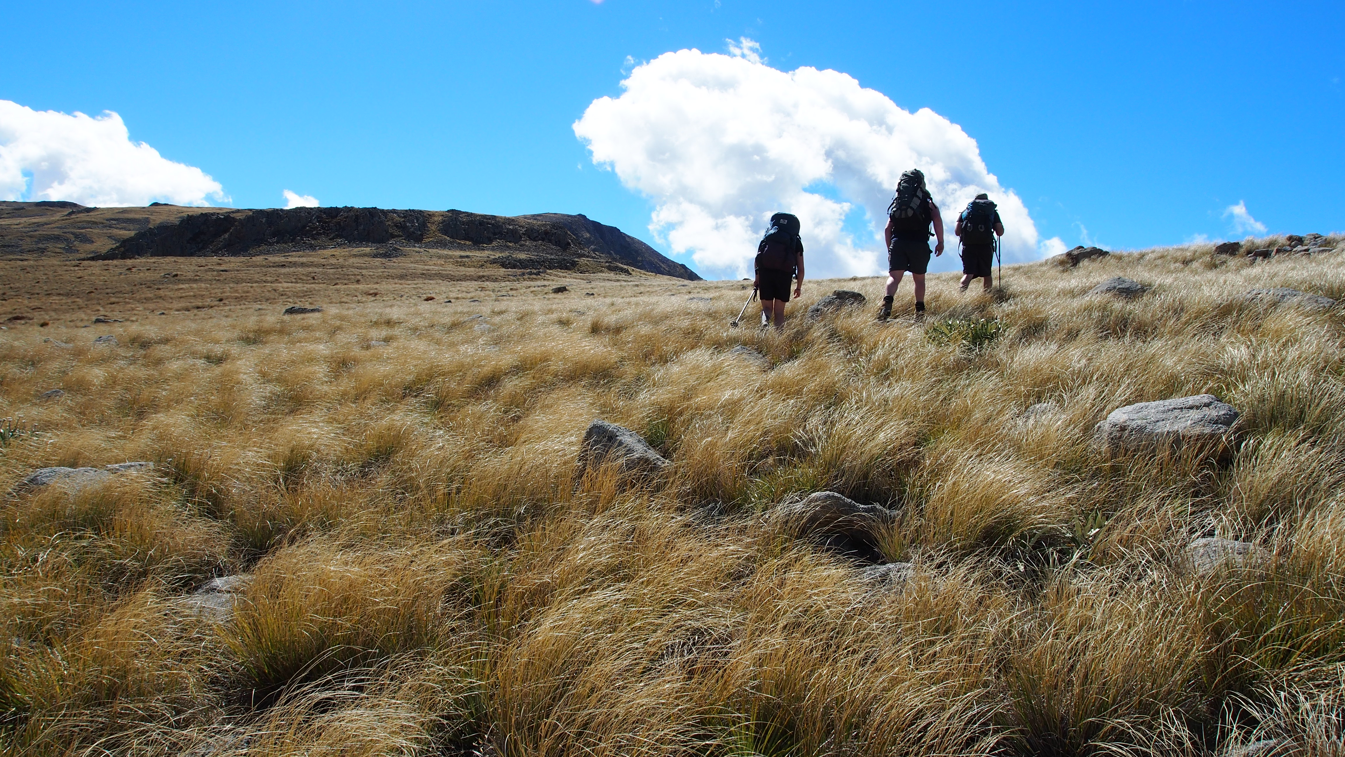
Rolling tussock – pretty easy going here

Nearing the summit
We had lunch at the Summit and ran into about 20 other people there as well (coming and going from both directions). After a leisurely lunch and a bunch of photos, we headed back down the very steep Mt. Somers Summit track – and everyone except for maybe me was very glad we didn’t come up that way (I personally prefer to climb, especially if it’s a steep slope). I fell over at least once and was pretty stuffed by about halfway down. I blame it on the fact that I was also coming down with a cold. Tramping when you are even the tiniest bit sick is to be avoided at all costs!

Steep descent down the Mt. Somers Summit track
All in all, it was an excellent weekend adventure with our good friends! In terms of an “off track” track, it was really excellent (in fine weather, providing visibility is good) as there are a few scattered cairns so navigation isn’t too difficult, nor is the terrain terribly challenging or technical.
Happy Tramping!
